


GLRM
Ultra-Compact Multi-Band
RTK GNSS Rover
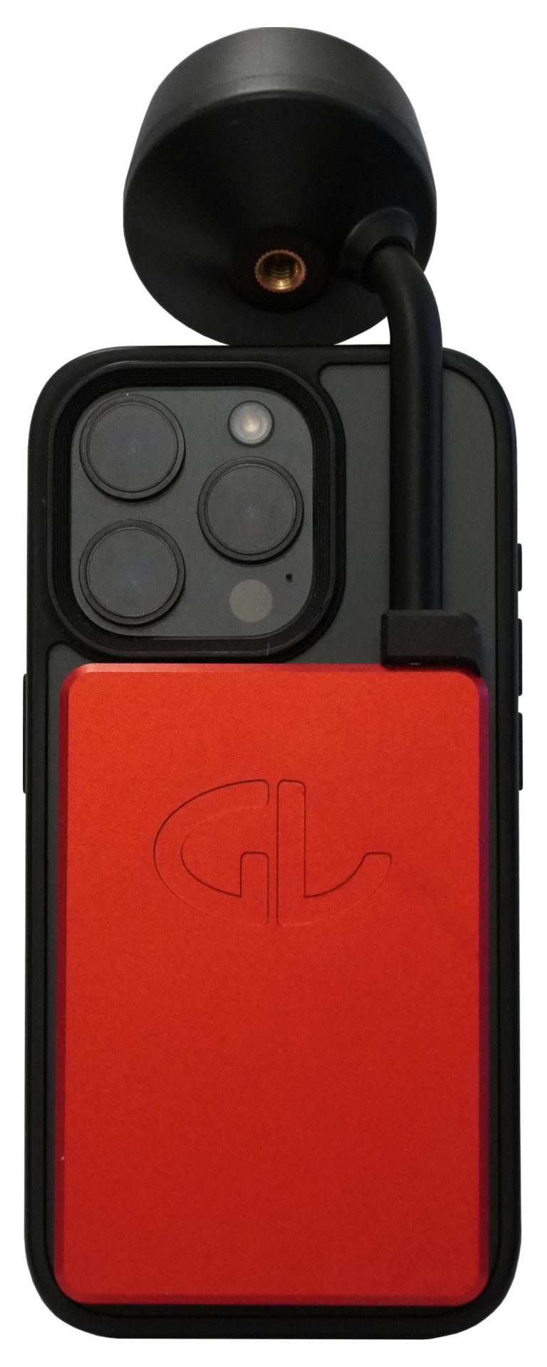
Just stack it – then capture and georeference 3D data directly from your mobile device!
- Ultra-compact and lightweight
- Magnetic attachment to iPhone Pro
- Triple-frequency GNSS with advanced tilt compensation
- Cm-precise, fix in under 5 seconds
- Flexible deployment: on a smartphone, with a mini pole, or on a traditional survey pole
- Compatible with both iOS and Android apps and devices
- Made in Austria
Applications:
- Georeferenced 3D scanning of underground utilities, construction sites, and infrastructure
- Mobile mapping for utilities, telecom, and asset management
- Survey and stakeout, GIS data capture

Ouster
A New Standard in Sensing
World’s First Native Color LiDAR Sensor
We are the official distributor for Ouster multibeam LiDAR in DACH and Bulgaria, offering robust 3D sensing solutions for high-performance applications.
Key Features:
- Native Color Lidar Sensor
- Double the range. Double the resolution. In native color.
- Engineered for functional safety and extreme reliability.
Applications:
- Automation, navigation, obstacle avoidance, high-accuracy surveying and data collection for next-generation Physical AI platforms
- Ruggedized 3D sensing for collision avoidance and localization in Mining, Agriculture, and Construction
- Logistics automation, collision avoidance, and localization for forklifts, AMRs, and warehouse robotics
- Long-range multi-modal road user detection for signal actuation and safety analytics
- Precise, accurate, and colorized 3D data capture for aerial and ground mapping platforms and high-grade surveying
- Long and short range high-resolution 3D sensing for next generation mobility
Unitree Robotics
High-Mobility Quadruped Robots
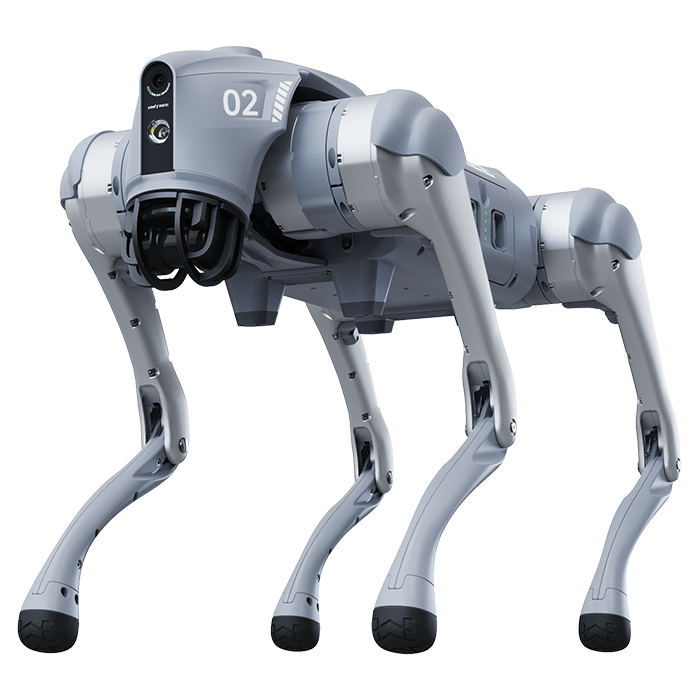
As an official distributor, we provide Unitree’s agile quadruped and humanoid robots for mobile inspection, research, and field automation.
Key Features:
- High-performance robotic dogs with advanced locomotion
- Payload support for LiDAR, GNSS, and visual sensors
- Ideal for research and rugged environments
Applications:
- Terrain exploration and site monitoring
- Search and rescue
- Robotics R&D and educational use
- Automated inspection in tight or dangerous spaces
Mobile Robots
Autonomous Inspection, Documentation & Security
Mobile Robots
Autonomous Inspection, Documentation & Security
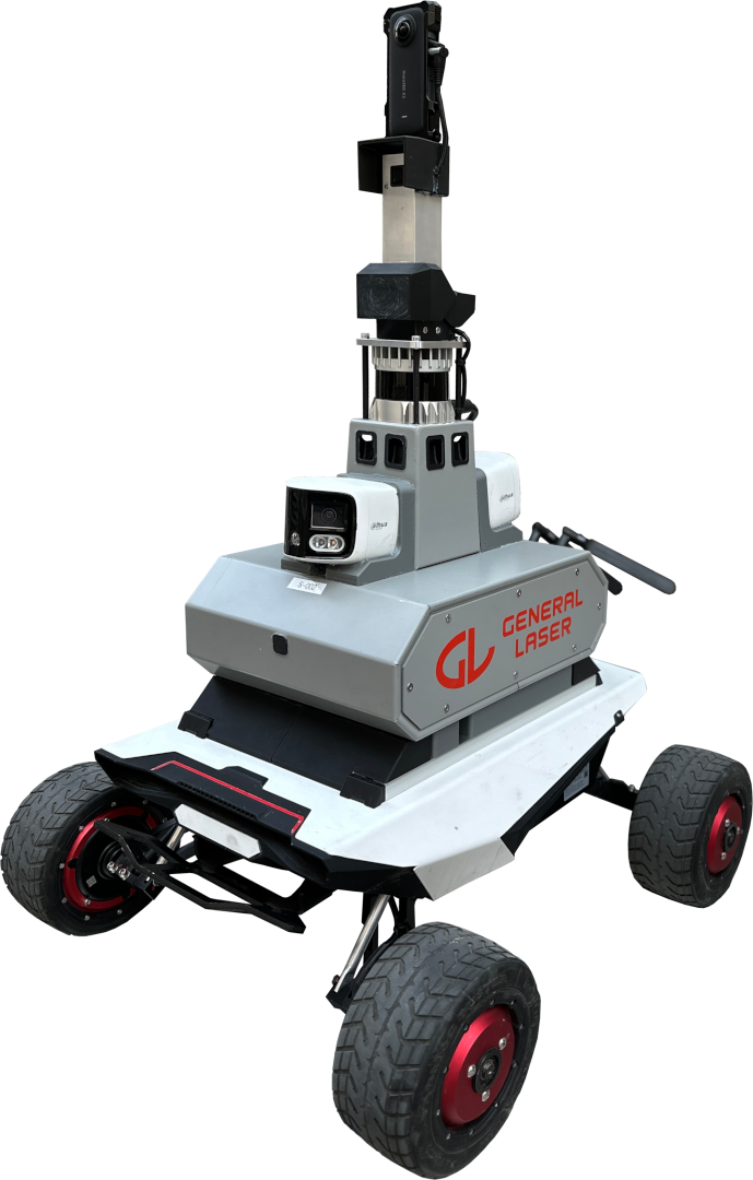
Deploy, automate, and reduce costs with the robotic guards at nights and site inspectors during the day.
- Equipped with LiDAR, cameras, and GNSS
- Customizable for various sensors and payloads
- Operate autonomously or via remote control
- Collision avoidance and obstacle detection on board
Applications:
- Site inspections and progress documentation
- Security patrols for critical infrastructure
- Automated data collection in hazardous or remote areas
GLidar
New Generation LiDAR Scanner
with Real-time Geotagged Output
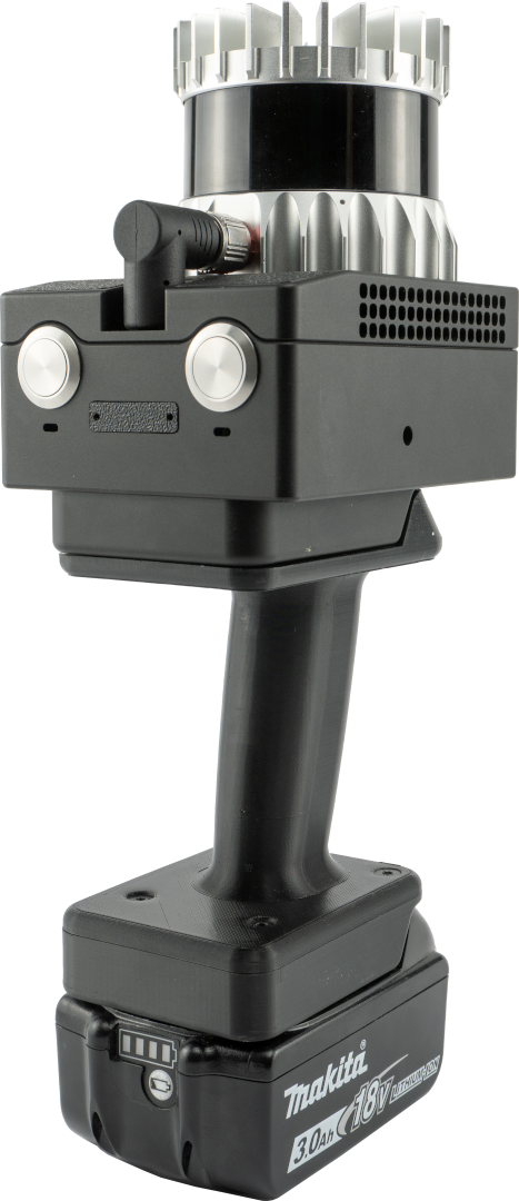
Connect to the scanner’s hotspot from your device – and start scanning with point cloud visual feedback immediately right on your screen and BIM/CAD-ready results in real-time.
- Real-time data processing with immediate visualization
- Filters for scanning in a free app
- Capture rates of 1.3M / 2.6M / 5.2M points per second
- Outputs geotagged point clouds ready for BIM and CAD workflows
- Modular design: use it handheld, stationary or on a moving platform
Applications:
- Construction site documentation and volume measurement
- Digital twin creation for BIM coordination and infrastructure planning
- Terrain modeling
- Forestry assessment
General Laser
Your Partner in Cm-Accurate Positioning & 3D Data Capture and Visualisation
We deliver end-to-end hardware and software solutions for precision GNSS, LiDAR, and mobile robotics applications. Made in Austria.
Key Services & Expertise:
- Custom solutions in RTK GNSS, LiDAR, and Autonomous Robotics
- Product design, prototyping, system integration, and serial production
- Specialists in mobile mapping, precision surveying, and 3D data visualization